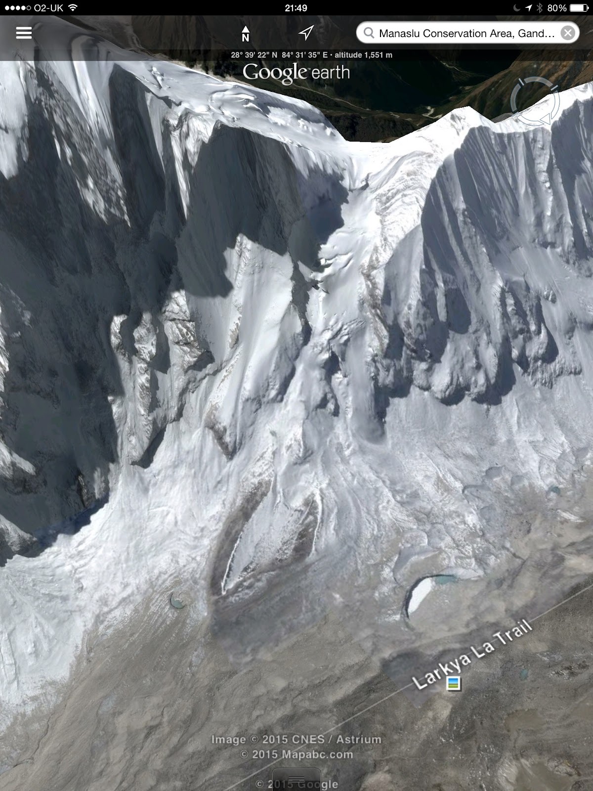
Tucked away in the north of Nepal, very close to the Tibetan Border, there is a remote mountain called Larkya Peak. It is 6,200m high and has had few recorded ascents so for us it is a voyage into the unknown. I have just culled this crop of pictures from Google Earth which purport to be recent photographs. These are probably the best images we have of the mountain we are hoping to attempt.
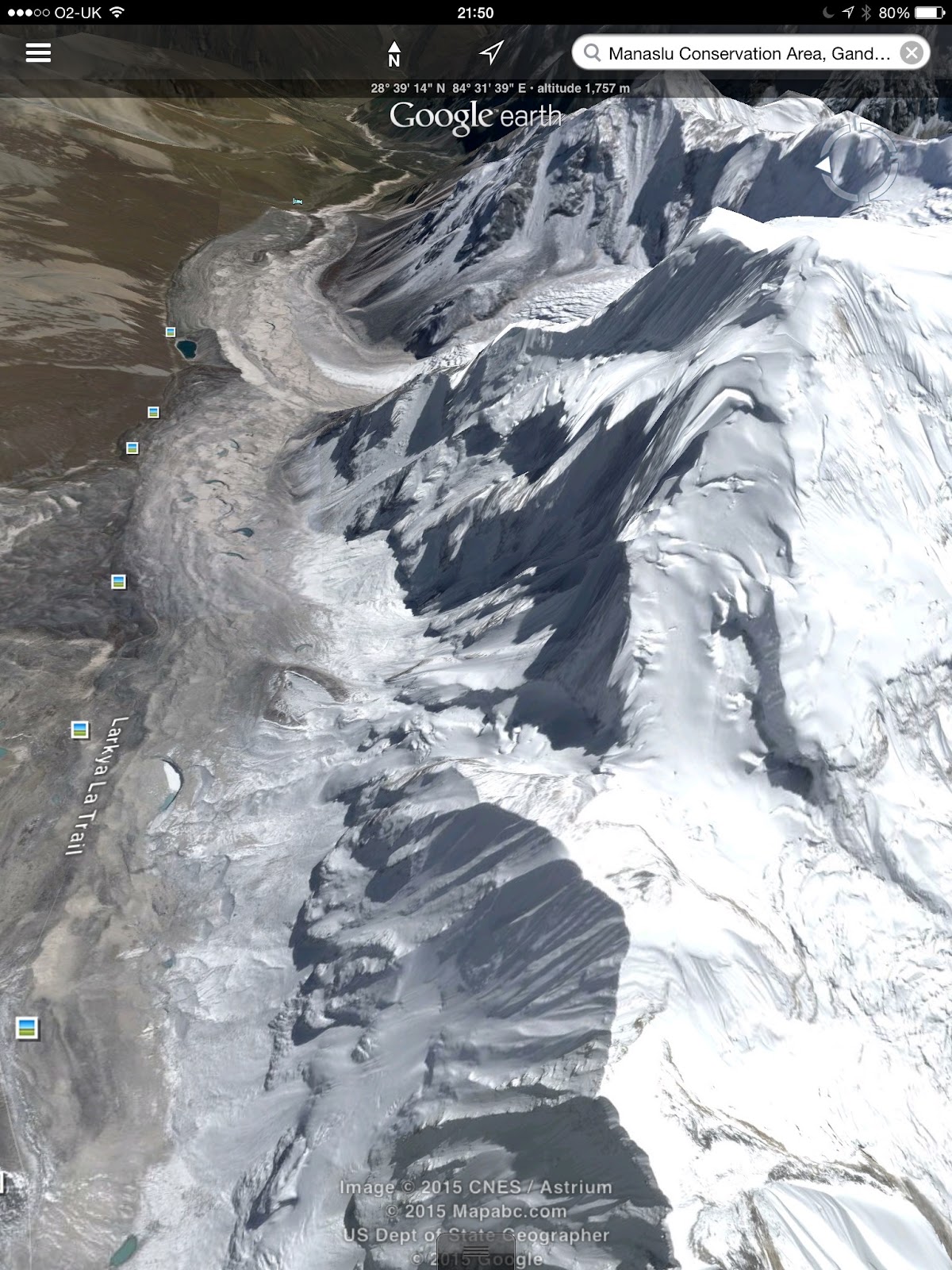
Our Base Camp will be near the trail that is marked on the photo above as Larkya La Trail. It will take us 2 weeks to walk to this point and it will be here that we establish our Base Camp and it is here that our research will be undertaken.
The climb to the peak from Base Camp ascends over difficult stony ground to the foot of the glacier that descends from the col between the 2 peaks - Larkya Peak Col which is 5,650m high. We have permission to attempt both the peak on the right and on the left.

The picture above looks down at the col 5,650 and the two peaks. from here the angle of the glacier looks less steep than when viewed from below. We think that the glacier has a gradient of about 45 degrees for about 300m and steepens just below the col. Clearly there are a lot of crevasses and a significant risk of avalanche so we will have to be very careful.
The picture above looks to the east back down the valley that we will ascend to reach Base Camp. Col 5,650m is in the middle of the shot with the long 600m ridge rising above it to the main summit.

On this picture I have tried to position the camera as if we were at the col 5,650m looking down the glacier to the morrain lake that will be near our Base Camp. The angle of the glacier looks much less steep here but I think this might be deceptive. It is just amazing what you can do with Google Earth!

The picture above looks down on Larkya Peak and to the west. When our Expedition concludes we will decend down this valley to join the main Annapurna Trail. I think after 2 weeks at Base Camp or above it will be a real treat to find warmth and vegetation again.

And finally this picture shows the summit of Larkya Peak, 6,200m and down the long west ridge. The northern slopes through which our ascent glacier threads, look much steeper from this angle.
No comments:
Post a Comment